
Cooperation in International Waters in Africa: Annual Report FY2018
Results by Project or Basin – Lake Chad
Information
Shared information boosts riparian trust and confidence and forms the basis of transboundary cooperation.
OUTCOME AREA 2. Shared data, knowledge, and analytical tools enable timely, transparent, and regionally beneficial decision making.
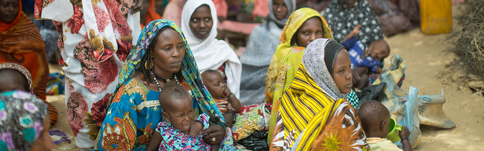
Assessing Future Scenarios: Analytical work and knowledge sharing in the Lake Chad Basin aims to help Lake Chad Basin Commission (LCBC) better understand the dynamics between climate, lake hydrology, and future abstraction scenarios (amounts and locations), which will determine the lake’s future. Major knowledge gaps regarding regional hydrology combined with climate change impacts result in tremendous uncertainty about the future of Lake Chad. A major decrease in the lake’s volume or water quality would seriously threaten the region’s vulnerable population and its already endangered ecosystem. To address the knowledge gaps, analysis conducted with CIWA support has been ongoing and includes enhancing the hydrological knowledge of the overlying aquifers extending over the conventional basin, improving the knowledge, filling the gaps of hydrogeological information of the basin, and updating knowledge on aquifer geometry (aquifer boundaries, layers, balance, etc.).
Modeling: The LCBC is collaborating with the World Bank, the United Nations Educational, Scientific and Cultural Organization (UNESCO), and other development partners to improve groundwater and surface water modeling of the lake and institutionalize information sharing. CIWA-supported consultations undertaken by the World Bank team with relevant stakeholders, including the LCBC, LCBC members states, and development partners, identified the need for a system of monitoring and modeling the lake to provide a decision-support mechanism to inform effective implementation of the basin’s water charter. The Lake Chad Basin Water Charter is a binding framework for the member states for promoting sustainable development through integrated, equitable, and coordinated management of natural resources in and around the lake.
A team of ground modelers from a large number of development partners and research organizations – Agence Française de Développement (AFD), the specialized institution of the Permanent Interstates Committee for Drought Control in the Sahel (AGRHYMET), Federal Institute for Geosciences and Natural Resources (BGR), Geological Survey (BRGM), Economic Community of Central African States (ECCAS), Instituto Madrileño De Estudios Avanzados (IMDEA), L’Institut de recherche pour le développement (IRD), Observatoire du Sahara et du Sahel (OSS), Princeton University Climate Partnership, and Project ResEau funded by the Swiss Government – have shared existing data and conducted a field trip in December 2017. With strong collaboration, there is now a state of the art ground water model of Lake Chad. Resulting information includes reports and maps identifying boreholes, water points, lithological logs, hydraulic parameters, etc., and it includes information from all partners. Member states were engaged in the process of data collection and preparation of the model.
While the model encompasses the entire basin, a higher resolution model will be adopted for three focus areas based on population coverage and socioeconomic information, livelihood activities, and hydrological and ecological importance for the lake and its vicinity, the Chari-Logone watershed, and the Komadougou-Yobe watershed. High resolution areas are needed where interactions between groundwater and surface water are more dynamic. The groundwater model will be linked to a separate surface water model to allow for water balance calculations, recharge estimations, indirect evapotranspiration measurements, and modeling of abstractions and consumptive uses.
A major workshop will be held when the development of the model is finalized to share all the information and present the work and its findings. LCBC will be the custodian of the model and will continue to institutionalize information sharing in the long term. The working group will also develop a joint publication with all available data and recommend research and analysis useful for resource management and planning.
Investments
Regionally beneficial investments generate socioeconomic benefits and gender-inclusive poverty reduction.
OUTCOME AREA 2. Coordinated investment planning and inclusive stakeholder engagement ensures equitable benefit sharing and effective risk management.
Climate Resilient Investment: With CIWA support, countries in the Lake Chad Basin developed the Lake Chad Development and Climate Resilience Action Plan (LCDCRAP) which highlights cross-cutting investment needs in the lake area. After launching the plan at the 21st United Nations Framework Convention on Climate Change Conference of the Parties (COP 21) in Paris in 2015, the World Bank has been working with countries to develop an IDA operation to address some of the important challenges in the region and harness opportunities identified. Pipeline lending will focus on priority actions identified in the plan to improve the resilience of Lake Chad livelihoods and ecosystems under current population growth pressures, hydrological variability, and climate uncertainty. The proposed sustainable investments aim to enhance the livelihoods and reduce the vulnerability of the lake’s resource-dependent population. Work on the LCDCRAP is now being undertaken through the Social, Urban and Rural Resilience Global Practice at the World Bank, acknowledging the social and development challenges of the region, including a focus on fragility.