
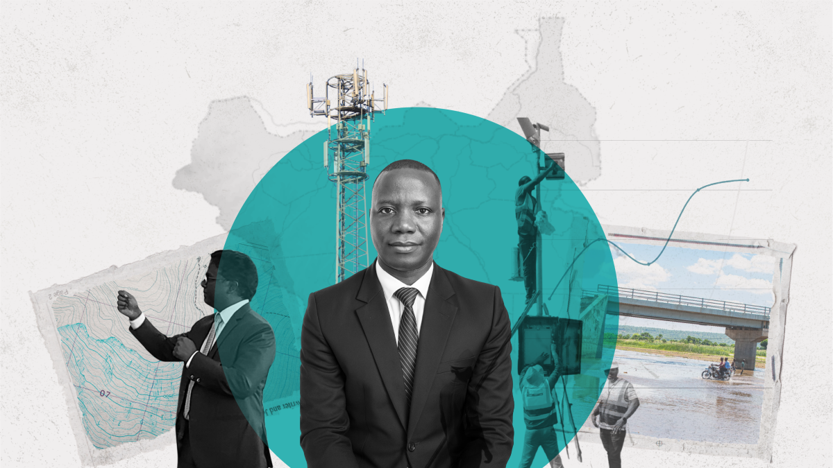
Longa Seme Isaiah: An evangelist for regional cooperation
Posted in : A View From The Field on 19 January 2026
South Sudan is rich in water resources. The Nile, Sobat River, and Sudd Wetland, among others, support millions of livelihoods and fuel economic growth.
But these sources of sustenance and development also pose grave risks to people from water scarcity in the dry season and especially from seasonal flooding, supercharged by climate change. As a country facing fragility, conflict, and violence, South Sudan is highly vulnerable to the impacts of extreme weather and less able to cope when disaster strikes. In 2019, severe flooding devastated the lives and livelihoods of about 1 million people.
“Everyone was taken by surprise,” says Longa Seme Isaiah, a geographic information systems (GIS) and data analyst at South Sudan’s Ministry of Water Resources and Irrigation. “Houses were submerged, livestock were killed, and farmlands were destroyed. People had to run for their lives.”
Isaiah was determined to do something to help his people. He says that an internship at ENTRO under Nile Cooperation for Climate Resilience (NCCR) was transformative, improving his country’s ability to forecast and cope with shocks such as floods and droughts through sophisticated early-warning systems that enable people to take precautions. It also made him a true believer in transboundary cooperation.
When the floods came in 2024, he says, 53 percent fewer people were affected.
The triple challenge of fragility, climate change, and poverty
Since 2022, the European Union’s Inform Index has ranked South Sudan as the world’s most vulnerable country to climate change and the one most lacking in coping capacity.
One of the most politically fragile countries, South Sudan became an independent state in 2011 following a civil war in Sudan but faced its own conflicts in 2013 and 2016. Its economy is stagnating.
Poverty and food insecurity are ubiquitous, exacerbated by conflict, displacement, and external shocks. South Sudan faces a humanitarian crisis, with over 1 million refugees from Sudan’s ongoing conflict.
Though the country has made important progress despite enormous challenges, a lack of water supply infrastructure—much of it destroyed during years of conflict—and low capacity of water resources management (WRM) institutions heighten its vulnerability, according to the INFORM Index, a global open-source risk assessment for humanitarian crises and disasters.
The World Bank and CIWA have been working to change that. Through its South Sudan Transboundary Waters Support Program, CIWA is supporting the South Sudan component of the RCRP by strengthening technical capacity and knowledge.
CIWA also supports ENTRO internships to build the capacity of WRM staff. The internship program has trained over 51 South Sudanese professionals in water management; remote sensing (RS) technology using satellite images for water data collection; GIS to collect and analyze spatial data on water resources; and hydrological modeling. Isaiah was among the 2023 cohort of interns from Egypt, Ethiopia, South Sudan, and Sudan.
A life-changing internship
Born in southern Sudan but raised in Uganda during the civil war, Isaiah, 41, became an electrical engineer but switched to water resources management because, he says, “water touches every community, and I wanted to touch more lives.”
He joined the Water Ministry in 2008 and by 2013 had developed the country’s first-ever groundwater database to quantify water points, the number of people they serve, and whether they are operational. But during the December 2013 civil war, it became difficult to update information, and the database deteriorated. With the support of partners, Isaiah and his colleagues are restoring its functionality.
His ENTRO internship had a profound impact. Isaiah’s cohort focused on analyzing flood risk and improving data-driven water management decisions. It gave him hands-on experience in hydrological and hydraulic modeling, which uses rainfall and hydrological data to predict flooding with greater precision, offering daily, weekly, and seasonal forecasts.
The internship also deepened his skills in GIS, a powerful tool that supports WRM by providing spatial analysis capabilities, enhancing data integration, and improving decision-making processes.
“We take the information that ENTRO generates and use the same GIS to cascade down to local areas,” he says. “The beauty of GIS is that it helps us understand the areas that are likely to be affected by floods so that people can take precautions—either evacuate or mitigate the impact” such as by constructing dikes.
The Ministry disseminates flood forecasts online, over email to humanitarian groups, and to farmers and residents over the radio, national TV, and mobile phones.
The internship also showed him that “GIS improves cooperation because it helps you delineate areas of transboundary waters, Isaiah says. “It was a defining moment in my career,” fostering a regional mindset and encouraging cross-border coordination to address shared water challenges.
“I learned the importance of cooperation and why it is key for all Nile Basin countries to embrace and promote collaboration,” he says. His internship cohort “was so passionate about improving collaboration among our countries” and still shares information and knowledge with one another.
“Without cooperation, there could be conflict leading to war,” he adds. “We are going to convince our countries that “to prosper, we need to come together. If you want to have long-term development, work together. If you want to lag behind, work alone.”