
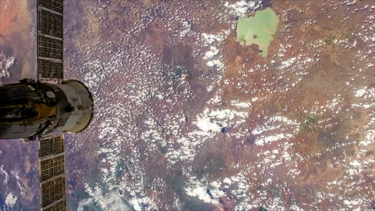
Remote sensing technology helps close the transboundary water data gap in Africa
Posted in : Blog on 1 September 2022
With 90 percent of fresh water in Africa found within 63 international river basin catchments crossing multiple borders, water resource management on the continent must be an inherently international and cooperative endeavor. Credible and consistent data on the quantity and quality of water is vital in ensuring the equitable and efficient management, distribution, and usage of transboundary water – which is imperative in addressing major regional development challenges as well as contributing to a reduction in conflict and displacement. Management decisions surrounding transboundary water resources directly impact other sectors, such as agriculture, energy, the environment, and urban planning, all of which require policies and practices that support sustainable water usage in order to function optimally. Moreover, Africa’s rapidly increasing population, growing economy, and changing climate are all increasing the demand for water, however, a lack of reliable and comprehensive data on these factors continues to hinder the sustainable management of this vital resource.
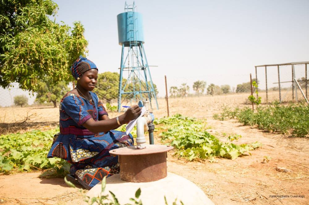
Improving the management of transboundary water resources and building resilience to hydrological extremes requires an in-depth understanding of water resource dynamics at basin level. This can only be achieved with empirical data and observations that equitably consider resource-users both upstream and downstream. To collaborate on the management of shared water resources, water users often come together in organizations working at the river basin and regional levels. However, such groups often lack a holistic understanding of the complex regional water supply and usage network due to insufficient data.
Hydrometeorological monitoring networks – which are organized systems for the collection of information on the transfer of water and energy between the land surface and the lower atmosphere – are often sparse and have high latency, making them impractical for real‐time decision-making. In areas where the need for accurate and consistent data is arguably greatest, data collection infrastructure and human capacity to monitor and forecast hazards is generally low. This is largely due to weak hydrometeorological monitoring networks since the 1980s and an ongoing lack of investment in research, infrastructure and training. To compensate for this data-gap, water managers must have better access to remotely sensed (RS) satellite data.
Satellite-based, spatial RS data offers a continuous, reliable data source with large-scale coverage that has potential applications in cross-border, water resource-management, therefore contributing to closing the data gap and facilitating better international cooperation and reducing conflict and systemic barriers to development. RS data is used as an input for various analytical tools, for example: flood forecasting, monitoring of surface water quality, tracking of water diversion and allocation, as well as the quantification of water storage in reservoirs. Satellite-derived data is advantageous from a technical standpoint since the instrumentation required does not vary across borders reducing the present technological disharmony that is pervasive across the African continent. Additionally, this form of data is politically neutral therefore, enhancing data transparency across country borders and potentially reducing the effect of socio-political barrier that discord in intergovernmental data-sharing regulation often presents. There are many free or low-cost data products that facilitate the collection, storage, and analysis of RS data. River basin and regional organizations across Africa can utilize these tools to better inform decision-making and strengthen data sharing among riparian countries. However, many decision-makers lack the capacity to access and adapt these products to provide solutions at the appropriate scales.
To address this capacity-gap, the Cooperation in International Waters in Africa (CIWA) and World Bank supported Water Data Revolution (WDR): Closing the Data Gap for Transboundary Water in Africa project puts RS data tools into the hands of water managers, helping to improve the capacity of water organizations to collect, store, and analyze RS data. This project employs a user-driven approach to identify common needs among end-users, and connects them with the appropriate solutions, ranging from RS tools, to satellite imagery, to custom data products tailored to the needs of resource-users in their specific locality.
To understand the needs and capacities of user groups, the project assessed 15 river basin organizations spanning a total of 37 African countries and three regional organizations whose operations extend collectively the continent. The assessment revealed the data gaps and priority data needs that could be mitigated and fulfilled through the adoption of RS data, data products, and analytical tools. Organizations were most interested in expanding their capacities to acquire, manage, and store free or low-cost RS datasets, as well as to use RS data tools and applications for the analysis of flooding and drought data. Moreover, the assessment provided insights into the challenges faced by organizations in adopting digital data platforms, including financial constraints, lack of technical capacity, and staffing shortages.
Using the outcomes of the assessment, the project will be able to provide capacity-building opportunities that align with the specific needs and goals of the various resource-user organizations to improve their access to and use of RS data, data products, and analytical tools, while also accounting for and addressing the constraints they face when using and adapting to new digital data platforms. Furthermore, the WDR project will assist organizations in adopting low-cost technologies for data collection, storage, and analysis, while promoting their sustainable use through workshops and capacity-building sessions.